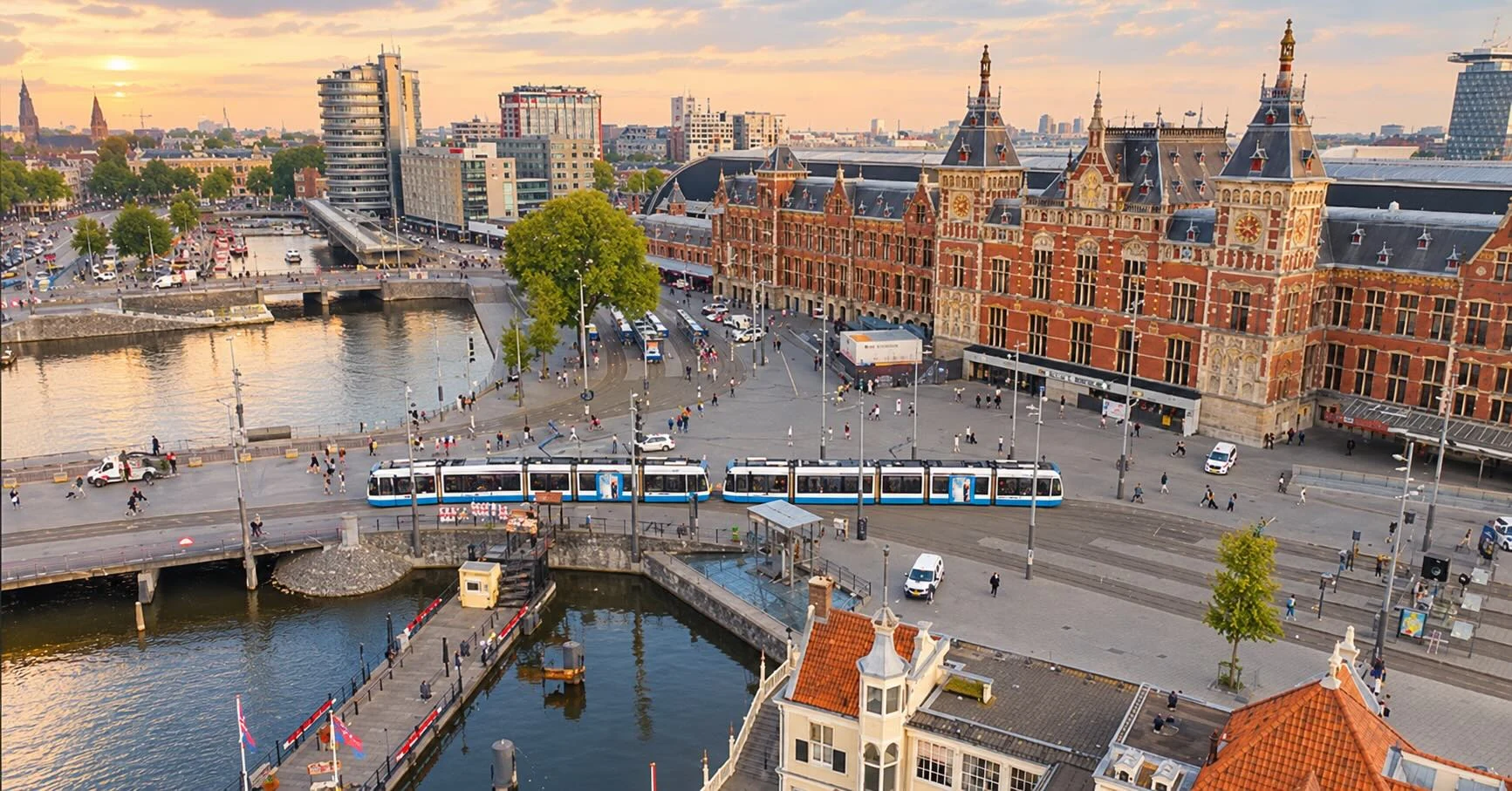
No-fly zones in the Netherlands
Drone map, rules and the new CTR zones from 26 November 2026
Where can you fly a drone in the Netherlands?
The Netherlands follows the European drone rules. Whether you may fly somewhere depends on three things: the type of drone, the location and the purpose of the flight. In many places flying is restricted or prohibited. These are the no-fly zones.
The official drone map of the Netherlands is GoDrone, the app and website of Air Traffic Control the Netherlands (LVNL). It shows for each location whether and how you may fly. Always check the map right before your flight: zones can change temporarily, for example during events or emergency operations.
On this page you can read which no-fly zones exist, what changes around the airports from 26 November 2026 and which rules apply in the Open category. Drone Chiefs is a certified drone operator with its own authorisation from the Dutch aviation authority ILT. Need to film inside a no-fly zone? We arrange the permissions.
Can I fly here? The 30-second checklist
1. Check your location on the official drone map GoDrone. If a zone applies, read the conditions.
2. Within roughly 15 km of an airport (the CTR)? Until 26 November 2026 you may not fly there in the Open category. After that you may in zone 3: from about 5 km from the airport and up to 120 metres.
3. Stay away from military sites, events, roads with a speed limit of 80 km/h or more, railways, seaports and places where emergency services are active.
4. Fly no higher than 120 metres and always keep the drone in sight.
5. Drone of 250 grams or more, or with a camera? Register as an operator with the RDW.
If you cannot meet one of these points, you need the Specific category. Send us the location and we will check which zone it falls in.
Want to know more? Read can I fly my drone here, including what to do when your location is inside a no-fly zone.
Last updated: 7 November 2026
The no-fly zones in the Netherlands
According to the Dutch government (veiligdronevliegen.nl), flying a drone is prohibited or restricted above and around:
• areas around airports (the CTR)
• military sites and training areas, and low-flying routes
• government buildings and secured sites
• events and other temporarily closed-off areas
• roads with a speed limit of 80 km/h or more, and railways
• hospital helipads and places where emergency services are active
• high-voltage lines, drinking water areas and companies handling hazardous substances
• major seaports
• some Natura 2000 areas (the province or site manager decides where)
Where zones overlap, the strictest rule always applies.
CTR: controlled airspace around airports
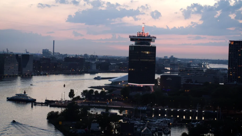
Around airports lies a CTR: controlled airspace with a radius of roughly 15 kilometres. The Netherlands has civil CTRs around Schiphol, Rotterdam The Hague, Lelystad, Groningen Eelde and Maastricht Aachen, and military CTRs around De Kooy, De Peel, Deelen, Eindhoven, Gilze-Rijen, Leeuwarden, Volkel and Woensdrecht, among others.
Until 26 November 2026, flying in the Open category inside a CTR is not allowed. A flight in a CTR counts as a VFR flight: you file a flight plan in advance, request clearance from the tower and stay in contact with air traffic control throughout. Nothing changes for the military CTRs.
Drone map Netherlands: how to use GoDrone
The official drone map of the Netherlands is GoDrone by LVNL. The map is free, as a website and as an app for iOS and Android. This is how you check in a few steps whether you may fly somewhere:
1. Open the map
Go to map.godrone.nl or open the GoDrone app.
2. Find your location
Type an address or place name, or zoom in on the spot where you want to fly.
3. See which zones apply
Click the spot. You will see which zones apply there, such as a CTR around an airport, a military area, a Natura 2000 site or a temporary restriction, and what is and is not allowed.
4. Check altitude and time
Some zones only apply up to a certain altitude or at certain times. So don't just check whether there is a zone, but also what the conditions are.
5. Check again right before your flight
Temporary zones, for example during events or emergency operations, can be set up at the last minute.
Other drone maps, such as the Aeret map in Drone PreFlight or the map in the DJI app, are useful as a supplement. GoDrone remains the official source. From 26 November 2026 the new CTR zones around the civil airports apply: check on GoDrone which zone your location is in.
New from 26 November 2026: CTR zones
From 26 November 2026 the civil CTRs of Schiphol, Rotterdam The Hague, Lelystad, Groningen Eelde and Maastricht Aachen are divided into zones, based on distance from the airport and flight altitude.
• Zone 1 (up to approx. 2 km, up to 120 m): nothing changes. Open category prohibited, Specific only with permission from air traffic control.
• Zone 2A (approx. 2 to 5 km, up to 45 m): Specific category without permission. Open category remains prohibited.
• Zone 2B (approx. 2 to 5 km, 45 to 120 m): Specific with permission, except within 30 metres of buildings and obstacles.
• Zone 3 (from approx. 5 km to the edge of the CTR, up to 120 m): Open and Specific without permission from air traffic control.
• Zone 4 (above 120 m, whole CTR): Specific only, with permission.
The new zones appear in GoDrone from 26 November. Other no-fly zones still apply.
The zones by altitude
It is not only the distance from the airport that counts, but also the altitude. Close to the airport, departing and arriving aircraft fly low. Beyond roughly 5 kilometres they are already so high that a low-flying drone poses no risk there.
Note: in zones without permission, air traffic control provides no traffic information about drones. You must give way to manned aircraft yourself, such as air ambulance and police helicopters. Source: LVNL and the Ministry of Infrastructure and Water Management.
The new CTR zones on the map
This is what the new zones look like schematically, from above and by altitude. The real boundaries follow the runways and differ per airport, so always check the current map in GoDrone from LVNL.
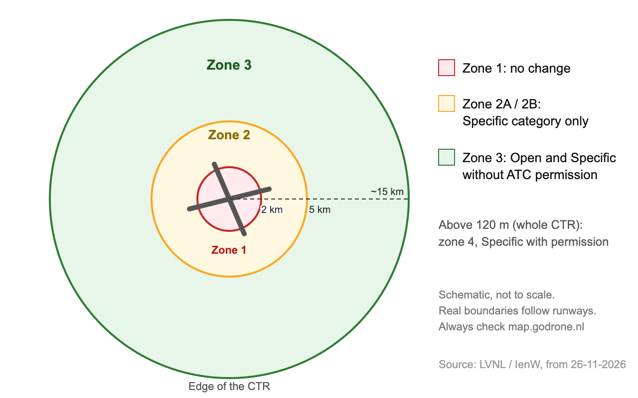
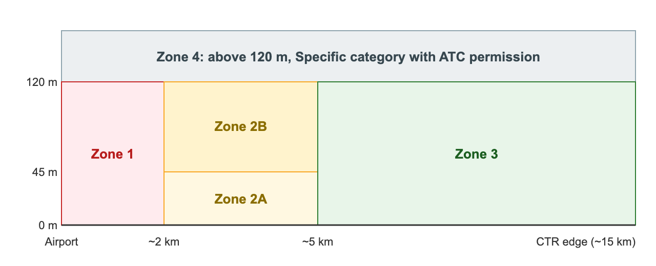 Source: LVNL and the Ministry of Infrastructure and Water Management. Schematic, not to scale.
Drone rules in the Netherlands: the Open category
Most hobby and consumer drones fly in the Open category. You do not need a permit from the ILT, but fixed rules apply (Dutch government):
• The drone owner is registered with the RDW and has an operator number
• The pilot holds a certificate of competency where required for the drone
• The drone has a Cx class label; drones with a C1, C2 or C3 label broadcast a Remote ID
• Maximum 120 metres high and always keep the drone in sight
• Do not fly near emergency services, and land immediately when other air traffic is nearby
• Respect privacy: only film people who give permission
If you cannot comply with one or more of these rules, you fall into the Specific category and need an ILT authorisation.
Need to film in a no-fly zone?
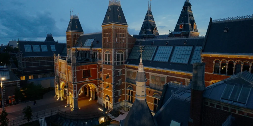
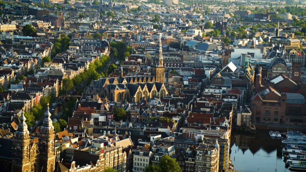
Want drone footage near an airport, in the port, above an event or in the city? It is often possible, but not in the Open category. Drone Chiefs flies in the Specific category with its own Operational Authorisation from the ILT (NLD-OAT-041-05G).
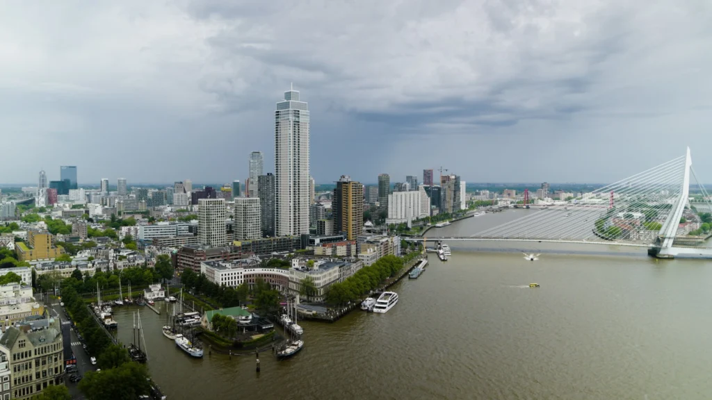
• Flying in the Schiphol and Rotterdam CTRs, also close to the airport
• Filming in the Port of Rotterdam and at industrial sites
• Flying close to people, at events and in the evening or at night
• We handle the risk assessment, GoDrone registration and contact with air traffic control
Productions start from €750. Send us the location and we will check straight away which zone it falls in.
Frequently asked questions about no-fly zones
Where can I see the drone no-fly zones?
On LVNL's official drone map GoDrone (map.godrone.nl), available as a website and an app.
Can I fly near Schiphol?
Until 26 November 2026, not in the Open category. After that, it is allowed in zone 3, from about 5 kilometres from the airport and up to 120 metres. Closer in, a Specific authorisation and often permission from air traffic control are required.
Do the new zones also apply to military airfields?
No. Nothing changes for military CTRs such as Eindhoven, Volkel and Gilze-Rijen.
Can I fly over a residential area?
That depends on your drone and the distance to people and buildings. In a city the Open category often won't get you far; then the Specific category is needed.
Can you film inside a no-fly zone?
Often, yes. We fly with our own ILT authorisation and arrange the permissions.
Is the GoDrone drone map free?
Yes. LVNL's drone map is free to use via map.godrone.nl and the GoDrone app.
What are the main drone rules in the Netherlands?
In the Open category you fly no higher than 120 metres, always keep the drone in sight, do not fly over crowds and stay out of the no-fly zones. For drones of 250 grams or more, or with a camera, you must register as an operator with the RDW.
What is a drone no-fly zone?
An area where you may not fly a drone, or only under conditions, such as around airports, military sites and events. You can see which zones apply at your location on the GoDrone drone map.
Which drone map app should I use in the Netherlands?
The official app is GoDrone by LVNL, for iOS and Android. Drone PreFlight by Aeret and the map in the DJI app are useful as a supplement, but GoDrone is the official source.
What changes on 26 November 2026?
The civil CTRs of Schiphol, Rotterdam The Hague, Lelystad, Groningen Eelde and Maastricht Aachen are divided into zones. From about 5 kilometres from the airport you may then fly in the Open category up to 120 metres (zone 3).
Contact us for a free quote
Feel free to contact us for a no-obligation quote for drone filming, FPV videos or video productions.
Include the location of the project with your request. That way we can immediately check which flight zone the location falls in and whether any additional permits or flight preparations are needed. Based on that, we can give you a targeted price indication. Productions start from €750.

